
AI LiDAR Point Cloud Classification
Classify large LiDAR point cloud blocks in minutes.
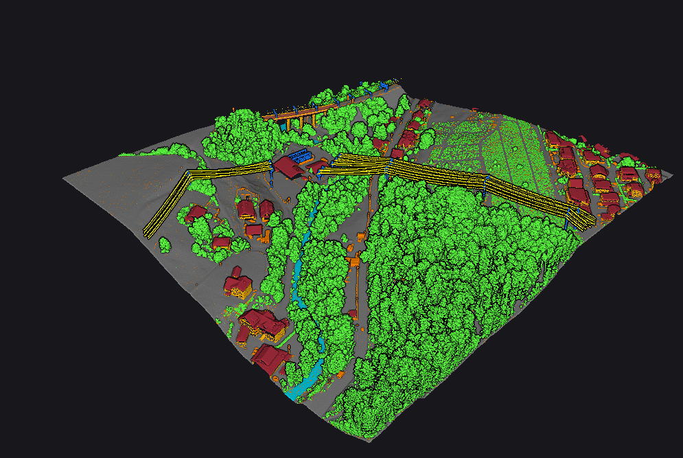
RawClassified
- LAS · LAZ · COPC
- VGround · VClassify · VUtilities
- Desktop · Cloud
Supported sensors

How it works
Proprietary AI models turn LAS, LAZ, and COPC blocks into review-ready classified outputs. On your workstation with Vecten Desktop, or in the browser with Vecten Cloud.
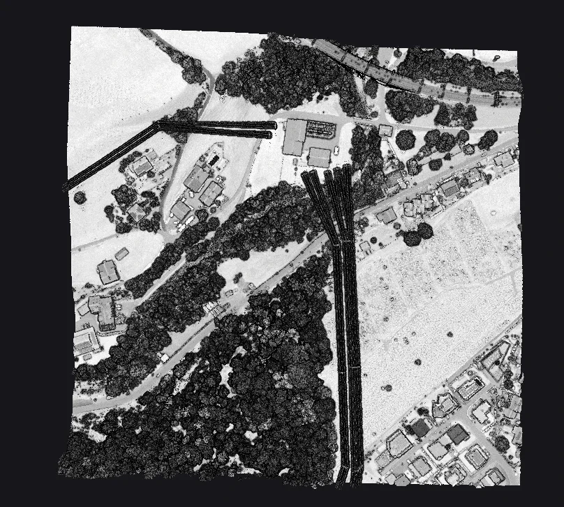
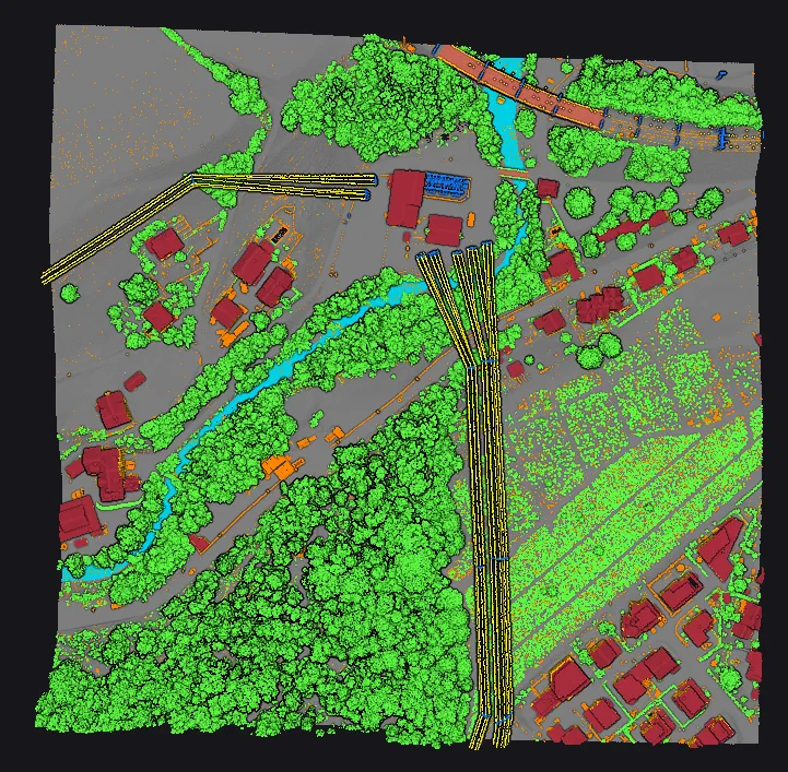
RawClassified
Same block, same points. Drag the divider: every point now carries a class.
Three modules, one class scheme
Each module adds classes to the one before it. Pick the smallest that covers the job.
| Class | 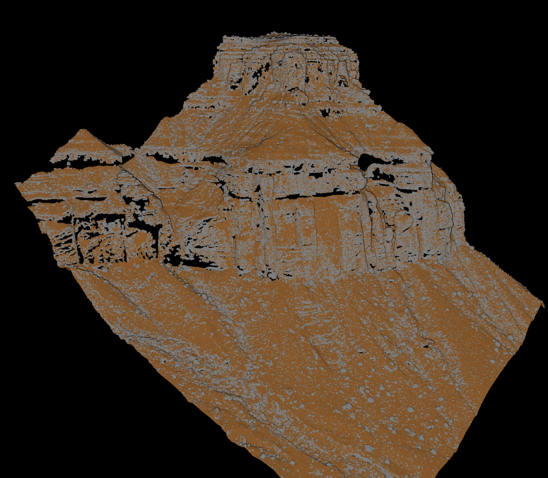 VGround Ground and terrain. | 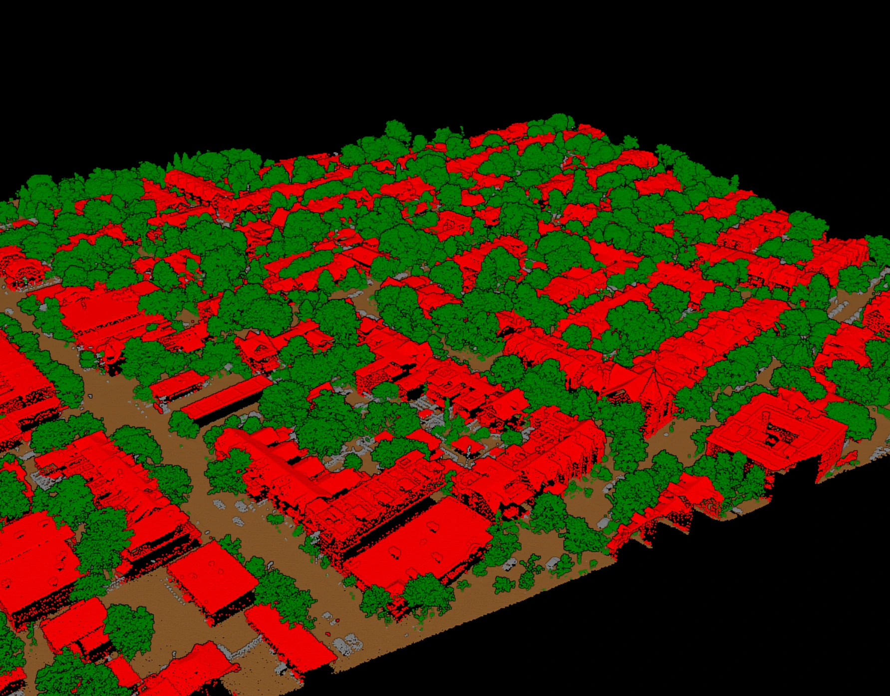 VClassify Adds the core semantic classes. | 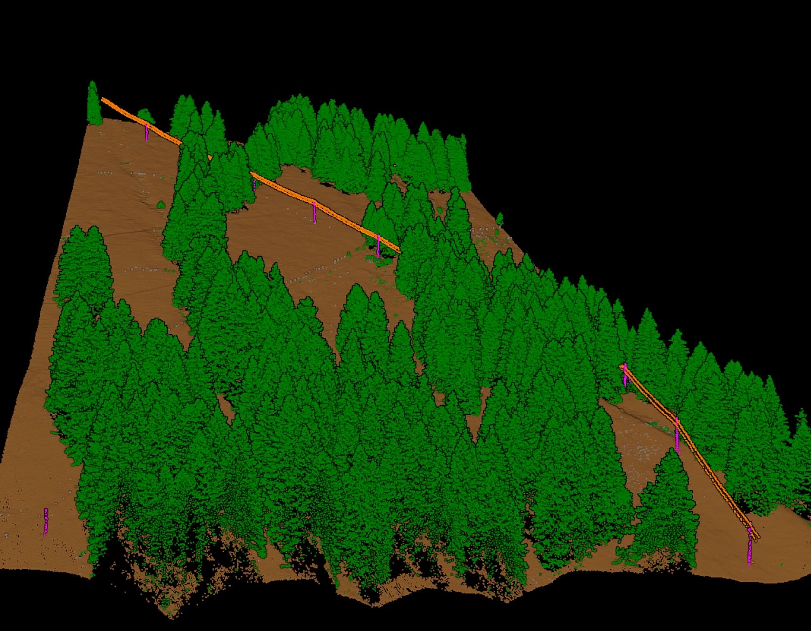 VUtilities Adds utility corridor assets. |
|---|---|---|---|
| Ground | Included | Included | Included |
| Bridge decks | Included | Included | Included |
| Noise | Included | Included | Included |
| Vegetation | Not included | Included | Included |
| Buildings | Not included | Included | Included |
| Wires | Not included | Not included | Included |
| Poles & towers | Not included | Not included | Included |
Where it runs
Vecten Desktop · Enterprise
On your own workstation.
Blocks and outputs stay on machines you control. Enterprise licensing, on request.
Local processingVecten Cloud · waitlist open
The same models, in your browser.
Nothing to install. For teams without GPU workstations and for burst volume. The waitlist is open.
Join the waitlistEvaluate Vecten Desktop with your team.
Tell us about your LiDAR inputs, required classes, current toolchain, and review constraints.